
 Plugin
PluginUpdated
Interactive World Maps
Interactive World Maps is a WordPress plugin by Carlos Moreira for building interactive maps.
Product facts
- Version
- 2.5
- Released
- 24 October 2026
- Type
- Plugin
- Licence
- GPL
- Included in
- Every plan, or $3.49 on its own
Overview
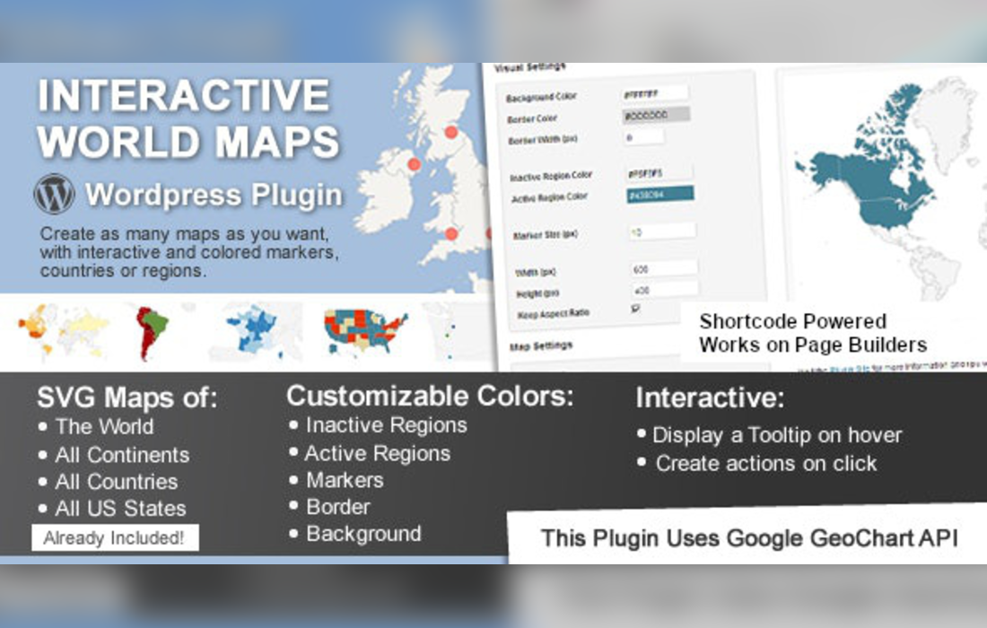
Many sites need to show where things are: offices, events, travel stops, service areas or regional data. A static image does not let visitors click or explore. Interactive World Maps gives you a way to build maps that respond, so each region or marker can show a tooltip and trigger an action such as opening a link or showing content.
You can create as many maps as you need, and the ready-made collection means you often start from an existing map instead of drawing one. Colors can be set for individual regions to mark territories or categories. When a map is ready, a shortcode places it anywhere on your site, and the WPBakery element offers another route if you build pages with that builder.
Features
- Unlimited map creation: Build as many maps as your site needs, with no cap on how many you create, so each page or project can have its own map.
- Many geographic scopes: Choose a map that covers the globe, a single continent or country, a US state, or smaller regions and metropolitan areas, depending on the area you want to show.
- Colored regions: Give each region its own color to mark territories, categories or differences in data, so visitors can read the map at a glance.
- Markers with tooltips: Add markers to pinpoint locations and attach a tooltip to each marker or region so visitors see details when they hover or click.
- Click actions: Set what happens when someone clicks a region or marker, such as opening a link or showing extra content on the page.
- Shortcode placement: Place any map anywhere on your site with a shortcode, which works in posts, pages and other areas that accept shortcodes.
- WPBakery element: Add maps directly in WPBakery through a dedicated element, which suits sites already built with that page builder.
- Ready-made map library: Hundreds of maps are included, so you can pick an existing map for a region and customize it instead of starting from scratch.
Best for
- Travel blogs mapping destinations and routes
- Businesses showing locations or service areas
- Educators and publishers presenting regional data
Changelog
Version 2.5 — 23 April 2024
- Security Security improvements.
FAQ
Is Interactive World Maps free?
The code of Interactive World Maps is licensed under the GPL, so anyone may use, change and share it. Buy GPL is a paid service: a plan or a purchase of Interactive World Maps gives you the download and its updates. The developer's own support, licence key and online services are not included.
Which version of Interactive World Maps is this?
Version 2.5, released 24 October 2026. New versions appear here when the developer publishes them.
How do I update Interactive World Maps?
Install Buy GPL Updater on your site and paste your key from My Account. It installs new versions of Interactive World Maps for you.
You might also like
Plugin Plugin
 Plugin
 Plugin
 Plugin
 Plugin
 Plugin
 Plugin